Products
Satellite PRO Features

Premium Satellites
- Crop monitoring
- Actual and Historical data
- up to 0,5 m/px resolution
- everyday imagery
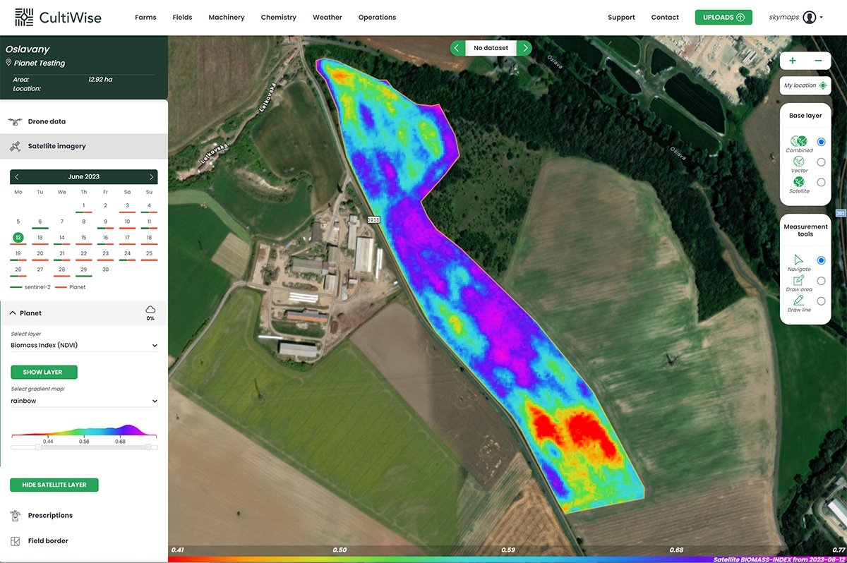
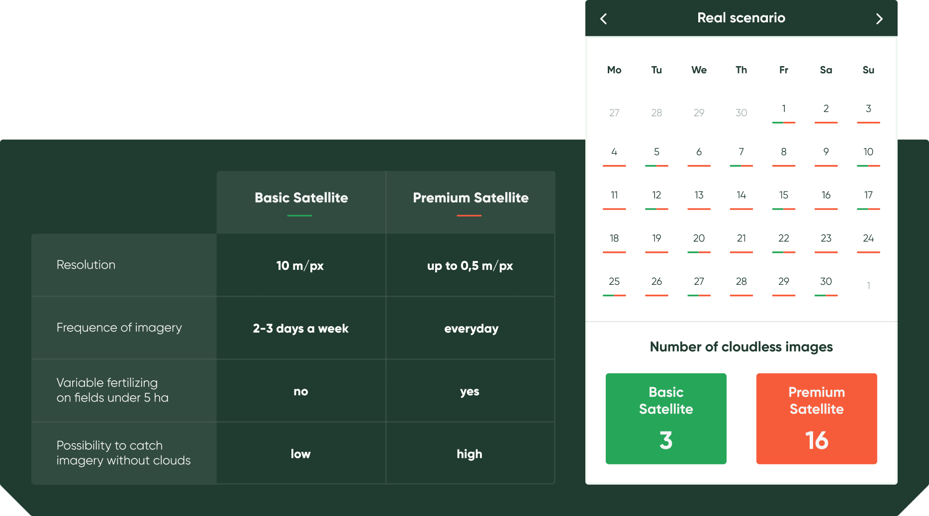
By opting for premium satellites, you gain access to significantly improved image resolution, allowing for a clearer, more detailed view of your fields. What’s more, instead of waiting for periodic updates, you’ll receive almost daily imagery, ensuring you’re always working with the most up-to-date information.

One of the standout features of our premium satellites is the enhanced management zone detailing. With this, you can refine your strategies, optimizing for the specific needs of various zones within your fields. Furthermore, our premium satellites substantially increase the likelihood of receiving cloudless imagery. This means fewer disruptions at creating prescription maps and clearer insights into the health of your crops.

Why choose Premium Satellites?


Yield Potential
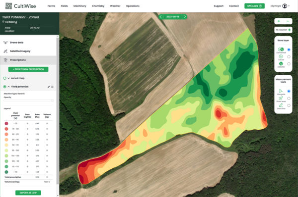
Assess the yield potential for each field zone based on multi-year historic biomass data.
Plan seeding, field preparations and fertilizer application based on the productivity of each zone.
- Field productivity zones
- Multi-year productivity analysis
- Relative in-field yield differences
- Custom number of zones
- Custom dose rates
- Edit tools
- Compatible with any machinery
- Recommendation for targeted soil sampling
- VRA fertilizing, seeding, etc.

Generic zoning with premium satellites
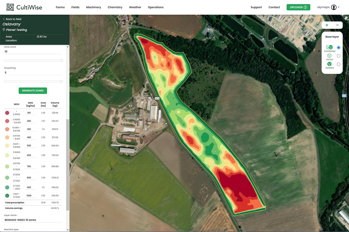
More detailed management zones. Reliable prescription map creation thanks to more frequent imagery. Included all features from basic generic zoning:
- Management zones
- A lot of vegetation indices
- Custom number of zones
- Custom dose rates
- Smoothing tool
- Edit tools
- Compatible with any machinery
- VRA fertilizing, seeding, etc.

Ready to elevate your farming?
Reach out to us and explore the potential of CultiWise!

