Products
Variable Rate Seeding
Increase yield and save costs
by optimizing seed distribution
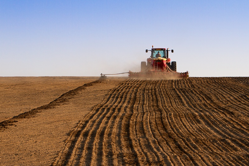
Variable Rate Seeding is a refined agricultural practice where seed rates are adjusted across different field zones. This method is driven by the understanding that not all parts of a field have the same seedbed conditions, soil fertility, or moisture levels. By tailoring seeding rates to the specific requirements of each zone, VRS enhances the efficiency and productivity of crop cultivation.


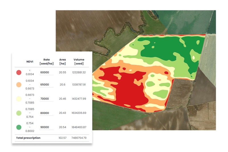
VRA Seeding is implemented through an in-depth analysis of the field, incorporating data from soil tests, yield maps, and aerial imagery from drones or satellites. This approach identifies diverse field conditions including variations in soil type, nutrient content, and moisture levels. Seeding rates are then tailored for each zone based on these factors. Fertile zones with optimal soil conditions are allocated higher seed rates, whereas less fertile or challenging areas are seeded less densely. The seeding strategy may be the opposite considering the specific crop being planted for the season.
This method optimizes seed distribution across different zones, enhancing yield prospects. In fertile zones, increased seed rates capitalize on the high yield potential, while in less productive areas, lower seed density reduces plant competition, supporting individual plant performance. Additionally, certain zones like those prone to waterlogging or designated conservation buffers adjacent to water bodies may be excluded from seeding altogether. This selective approach to seeding ensures efficient use of resources, potentially leading to higher yields and improved overall field performance.
How to create Variable Rate Seeding maps in CultiWise?

With Cultiwises generic zoning tool you have an option to create basic variable rate seeding maps for free. If you want to take your variable seeding to the next level, you can define the seeding management zones based on more detailed Premium Satellite data or based on historical productivity of each zone – Yield Potential Maps. This approach takes into account long-term patterns through averaging multiple year satellite data. The Soil Sampling tool can be used to create Varible seeding maps based on the soil nutrient analysis condected on the field.
Ready to elevate your farming?
Reach out to us and explore the potential of CultiWise!

